Add to favorites
- Difficulty: Easy/Medium

- Warnings: No fires permitted
- Wheelchair accessible: No
- High-clearance 4×4 advised to access trailhead? no
- Best seasons: spring, summer, fall
- Distance (return lake loop): 4.5km / 2.8mi
Distance (return picnic area): 3.4km / 2.1mi (source:map) - Approx. time – lake loop: 2.5 hrs return
Approx. time – picnic area: 1.75 hrs return - Elevation gain – lake loop: 160m / 525ft
Elevation gain – picnic area: 120m / 400 ft - Steepest grade: approx. 20%
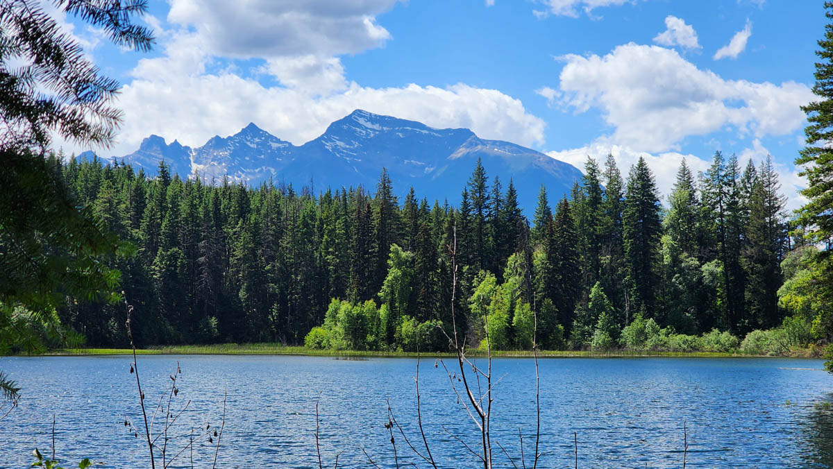
- Viewpoints: Several, of both the lake and the mountains in the distance.
- Geocache points Unknown
- Closest bathroom/outhouse: Outhouse on the main trail not far from the lake’s picnic spot
- Cell service? Not comprehensive, but in spots.
- Gear to bring: Bring 1L water/pp and mosquito spray
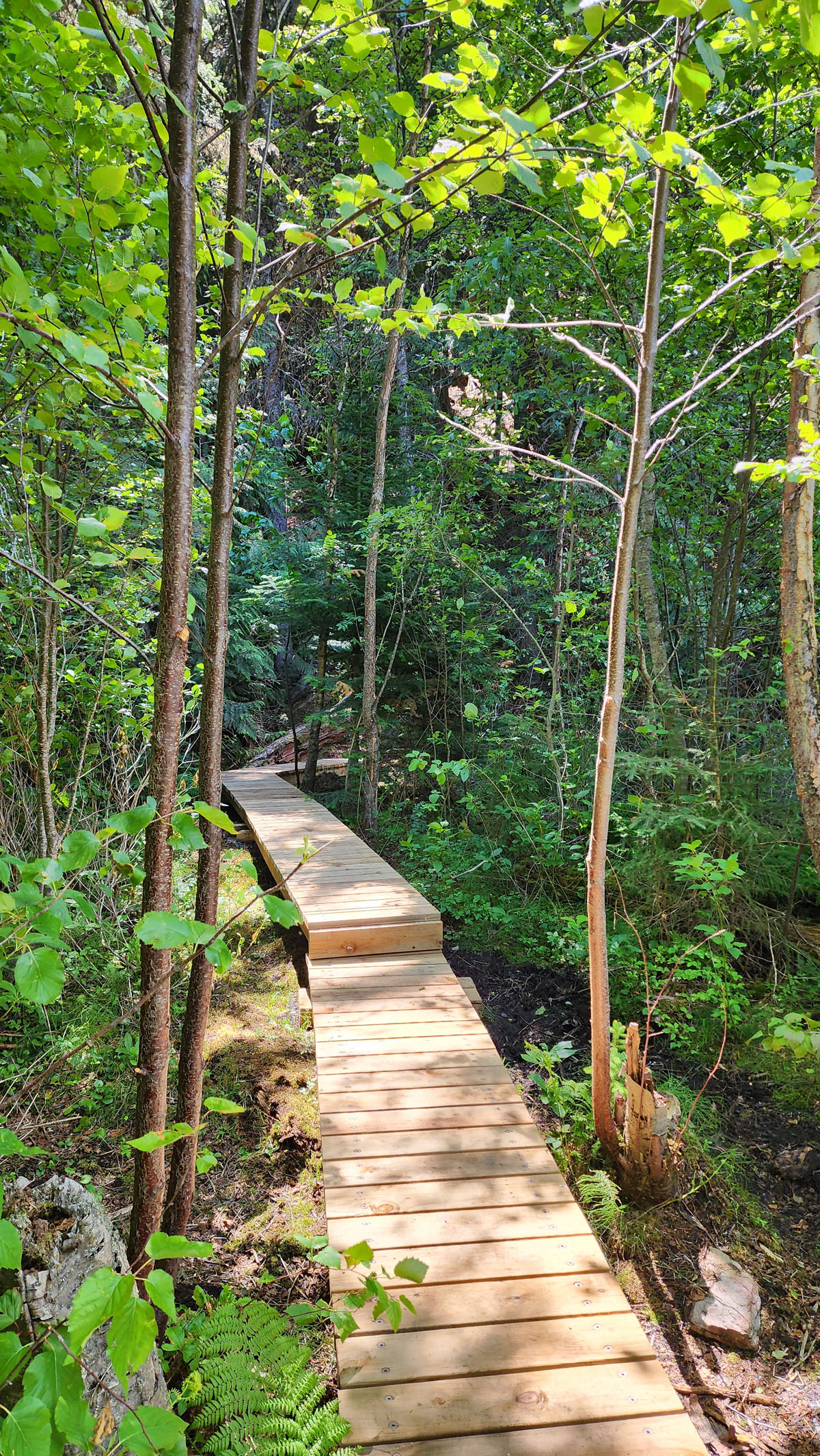
Trail Description: The Little Lost Lake Trail is one of the most popular trails in the Robson Valley due to its easily accessed trailhead and short family-friendly (1.7km hike) to the shores of the lake.
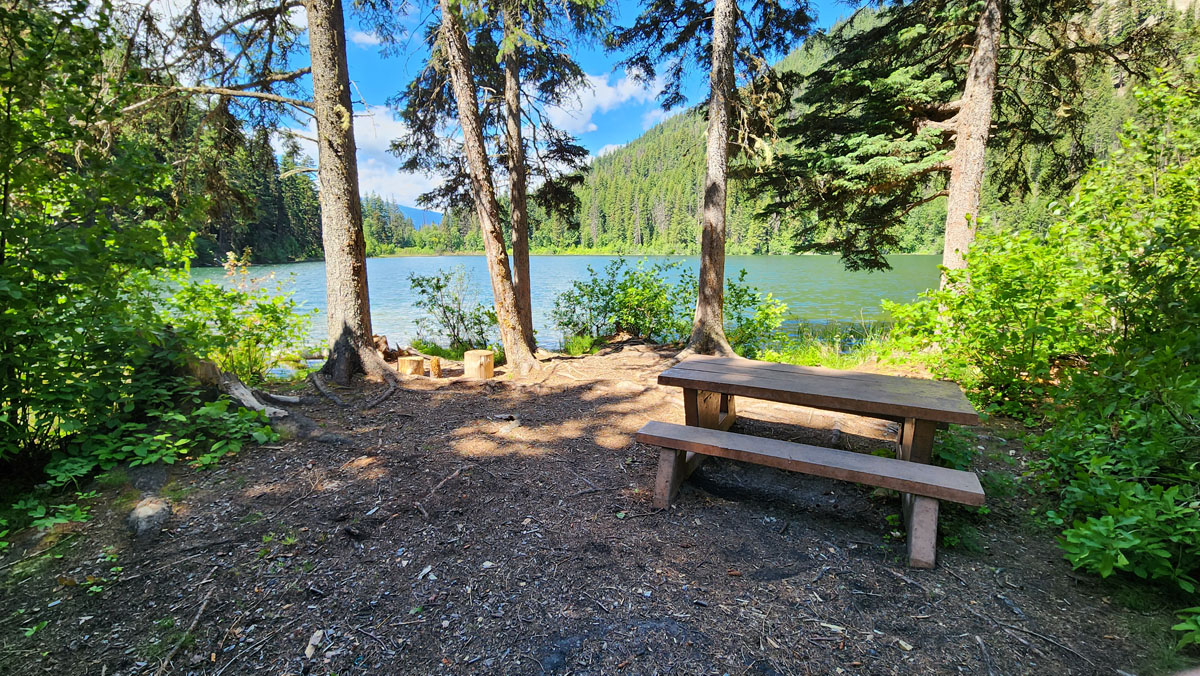
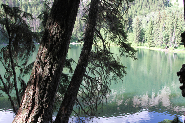
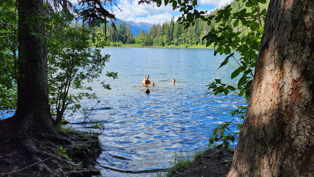
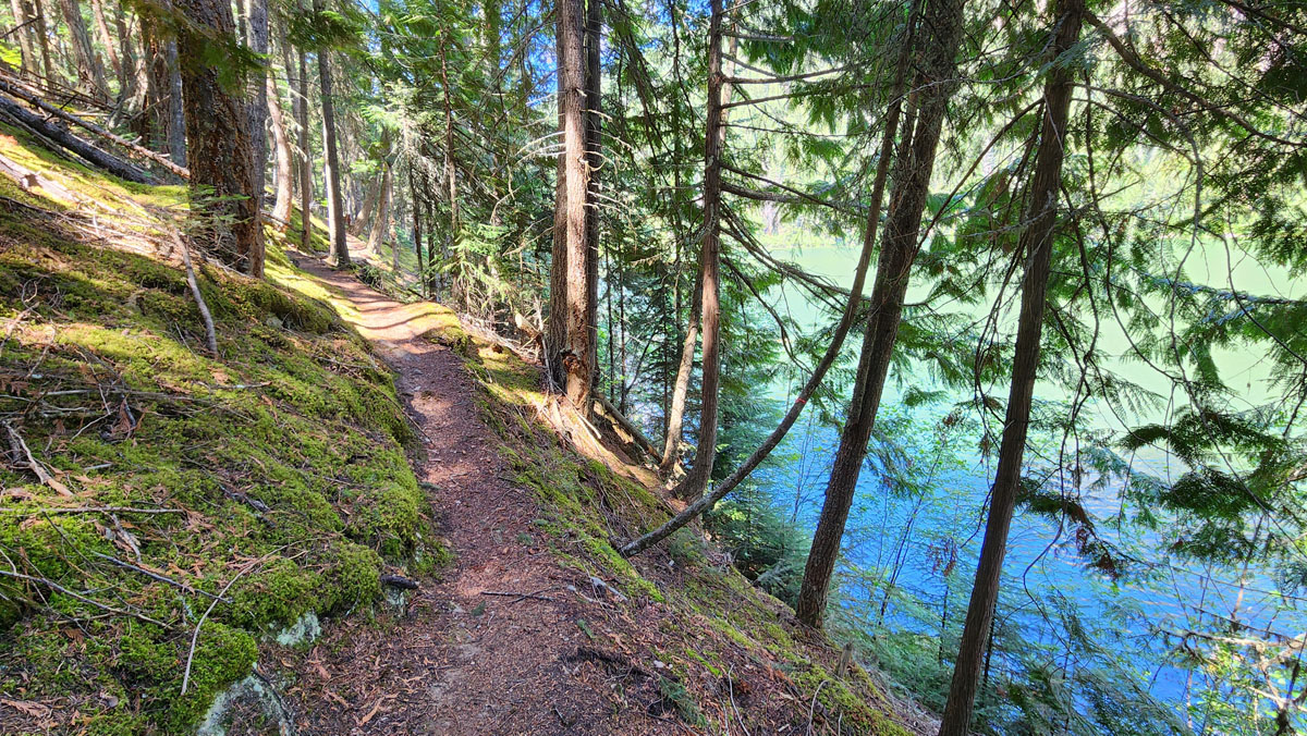
The trail starts with some uphill sections but levels out for the latter half. Once at the lake you’ll find two lovely picnic spots (the second being to your left along the lake shore) where you can enjoy your lunch, go for a dip, try your hand at fishing or just relax and take in the view. From the picnic spots one can continue around the lake (1.2 kms) where a picturesque forest and some very nice lake views can be enjoyed along the way.
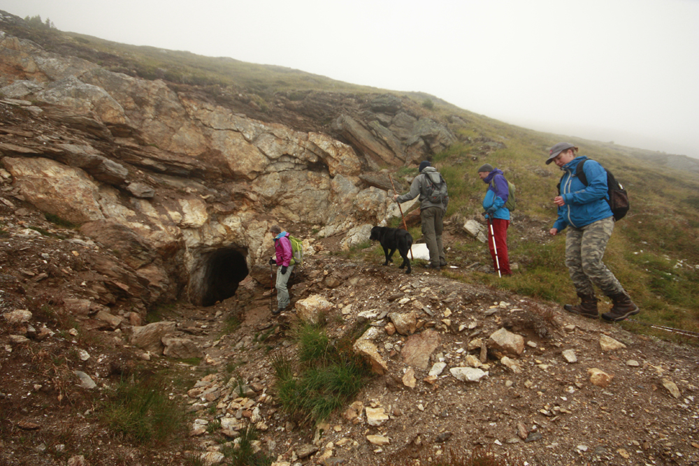
For those looking to get their heart rate up and don’t mind a relentlessly steep climb on a minimally maintained trail, there are a couple of options from the right hand branch at 1.26 km up the trail. About 600m up from the junction you’ll come to a fork in the trail. The right fork continues to climb steadily for another 400m. There are some nice viewpoints along the way but the trail ends quite abruptly at a small treed bench where you have an obscured view of a small waterfall. From most reported accounts it probably is not worth the effort but if you do persevere and make it to the end, you can give yourself a pat on the back for making it up the “Little Lost Lake Grind!”
The left fork continues past some initial deadfall. The trail is quite steep and in poor condition. There is some exposure on this section of trail and it can be hazardous in wet conditions. This trail should only be attempted by experienced hikers with good scrambling skills.
GPS Zone
Trailhead coordinates: 52.978960°, -119.397232° (Plug coordinates into GPS or Google Maps search bar)
GPS Tracks (Right click, Save link as)
Download Trail GPX file
How to access/where to park: From Valemount, head north on Hwy 5 approx. 19km. Merge onto Hwy 16E at the Tete Jaune junction (follow Jasper signs). About 1.5km east, park at the avalanche control gates (the first pull-out after the weigh-scales). Cross the hwy with caution, backtrack about 30 feet, and look for the trailhead sign among the trees. Click here for Google Map Directions
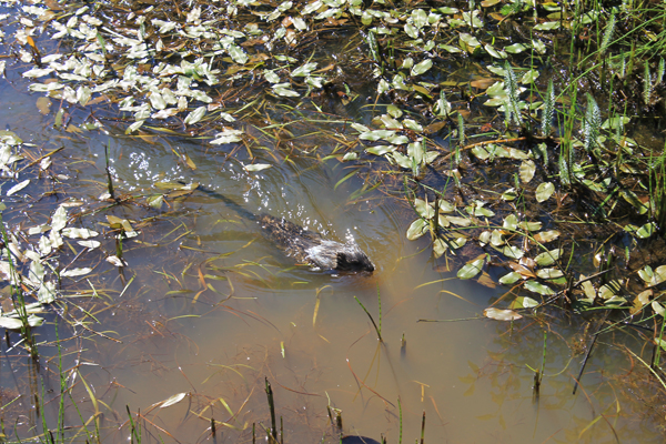
Best Parts: During summer, the lake is a great place to sunbathe and swim. There are picnic tables and an outhouse.
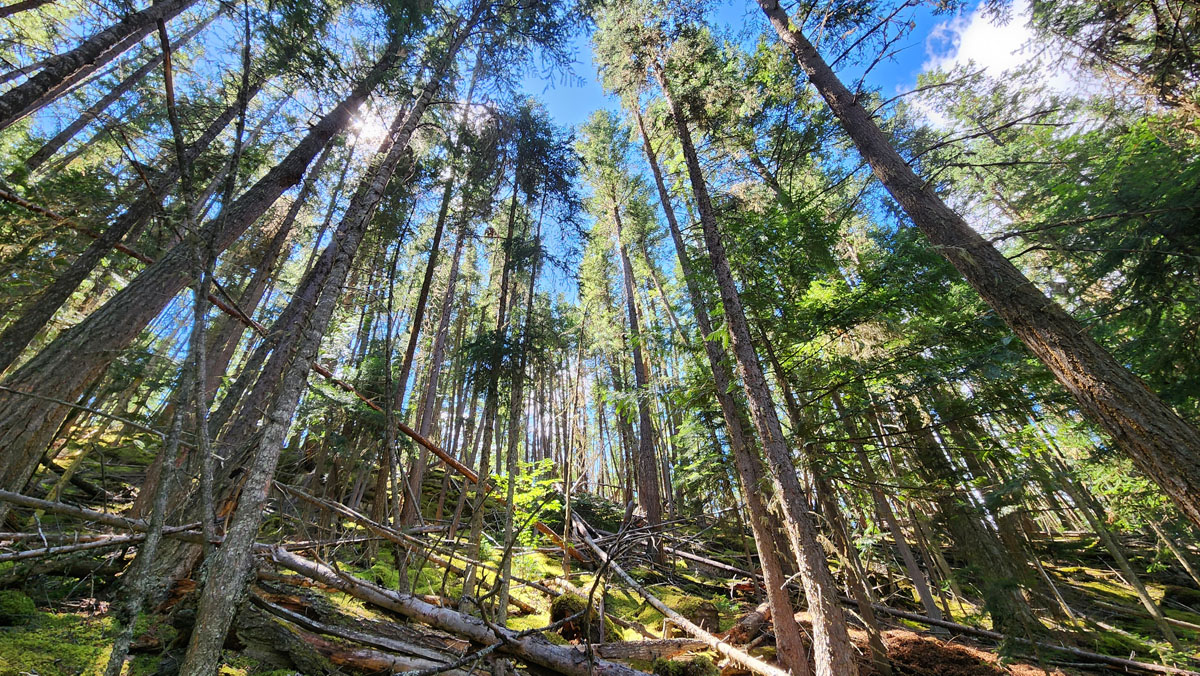
Worst Parts: If you do the hill climb section (optional) there are some very steep sections that are hard to grip unless you’re wearing good hiking shoes. Hiking poles are recommended. Watch for falling trees. You’ll sometimes find yourself skirting around, over and under fallen trees on the trail. Watch out: bears are sometimes spotted along this trail. Make lots of noise so you don’t surprise them and they have time to leave. The mosquitoes are bad during summer – but nothing a little mosquito spray or net shirt can’t handle! Watch out for devil’s club – it will poke and sting you and sometimes overhangs onto the trail.
Elevation change profile (metres and km). Click to expand. Elevation includes the Lake Loop.