Add to favorites

- Difficulty: Easy/Medium

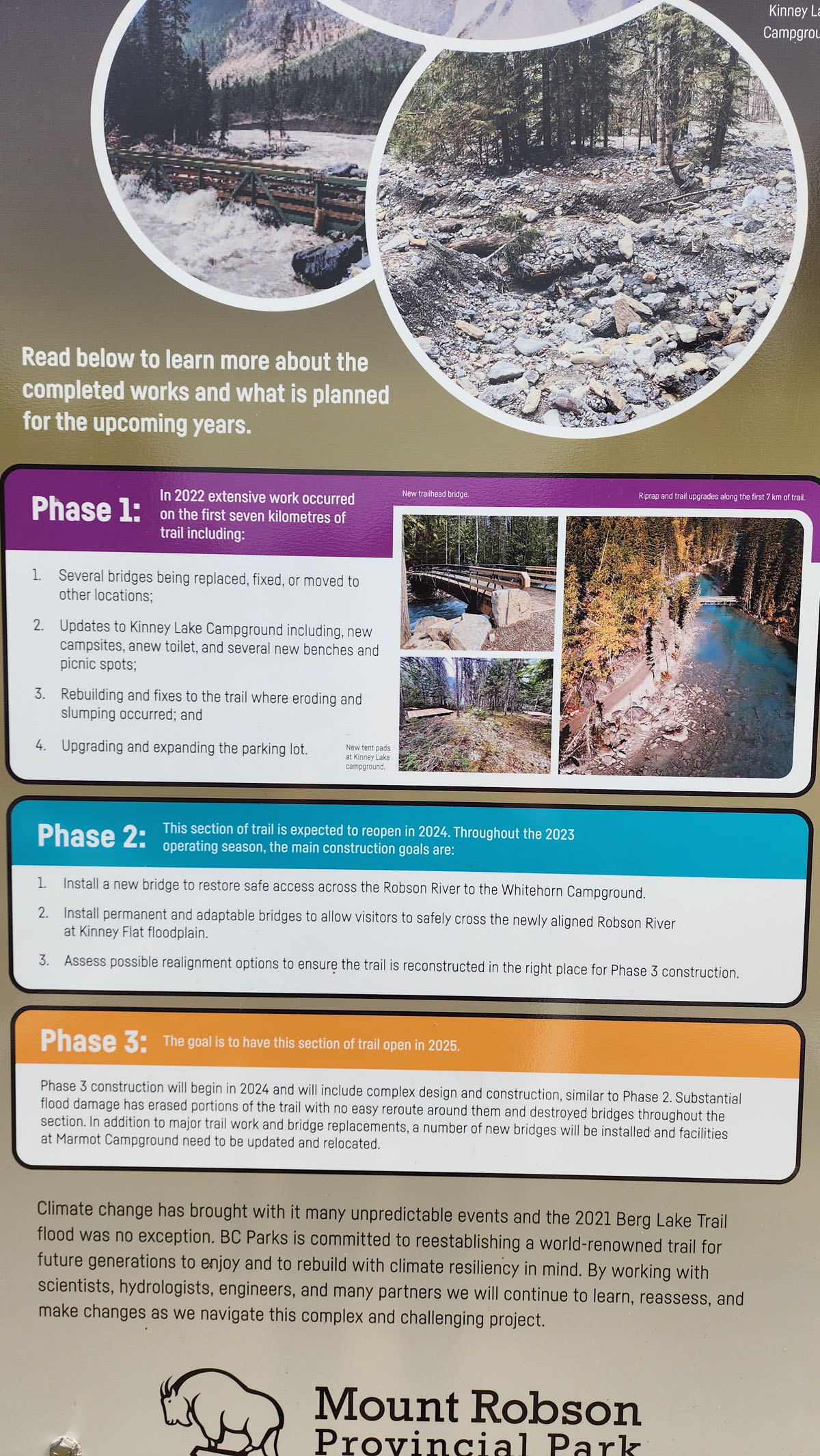
- Warnings: No official warnings. Check social media feeds below for current trail status updates.
- Wheelchair accessible:Trailhead only
- High-clearance 4×4 advised to access trailhead? No
- Best seasons: summer, fall, winter (ski/snowshoe)
- Distance: 10 km / 6.2 mi
- Approx. time: 2-2.5 hrs return (hiking) 1-1.5hrs (biking)
- Elevation gain: approx. 131m/430ft
- Steepest grade: approx. 25% in a few spots
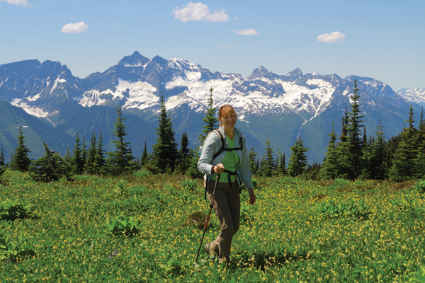
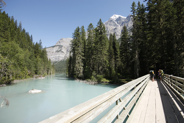
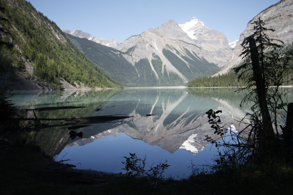
- Viewpoints: On clear days, spectacular views of Mt. Robson, the Robson River, and of course Kinney Lake.
- Geocache points Unknown
- Closest bathroom/outhouse: Mt. Robson Visitor Info Centre or outhouse at Kinney Lake
- Cell service? No
- Gear to bring: 1L water/pp and mosquito spray
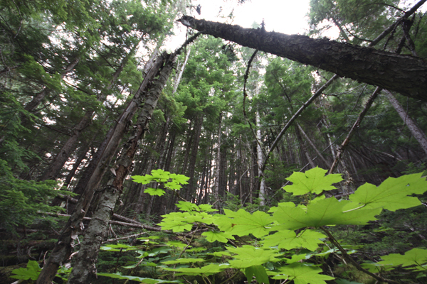
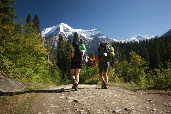
Trail Description: With good shoes, a full water bottle and some trail mix for an extra shot of energy, this trail is easily do-able for someone who does regular walking. There are a couple steep sections, both up and down, but the trail is well-maintained. The trail can be hiked or biked as far as Kinney Lake. The Lake is a beautiful spot for a picnic or just to admire the view at the base of Mt. Robson. Most kids do well on this hike as well. This trail is also used during winter months by snowshoers and ski tourers, although there is avalanche risk in some sections.
Best Parts: In the spring, Kinney Lake becomes cyan blue. In any season it is picturesque nestled at the base of Mt. Robson and several smaller mountains.
Worst Parts: There are some steeper sections and rocks sticking up in the trail. The mosquitoes are active – make sure to bring repellant.
GPS Zone
Trailhead coordinates: 53.050849°, -119.214408°
Insert the above coordinates into a GPS or Google Maps search bar.
GPS Tracks (Right click, Save link as)
Download Trail GPX file
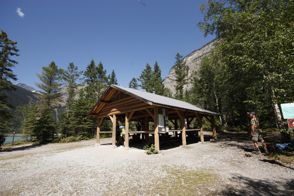
How to access/where to park: Head north from Valemount on Hwy 5 for approx. 19km. Merge onto Hwy 16 East (follow signs to Jasper). Go about 16km and turn left at Mt. Robson. Continue straight on the dirt road perpendicular to the hwy for approx. 2.3km. Park at the Berg Lake Trailhead parking lot. For Google Map Directions Click Here
Elevation change profile (metres and km). Click to expand.