- Difficulty: Easy/Medium Easy

- Warnings: THIS TRAIL IS CLOSED. The trail is washed out in places and has a fair bit of deadfall you must skirt over, under or around.
- Wheelchair accessible: no
- High-clearance 4×4 advised to access trailhead? no
- Best seasons: spring,summer, fall
- Distance (return bridge site): 2.5km / 1.5 mi
Distance (return loop): NA - Approx. time: 2 hrs return (bridge)
- Elevation gain: less than 50m/165ft
- Steepest grade: approx. 20%
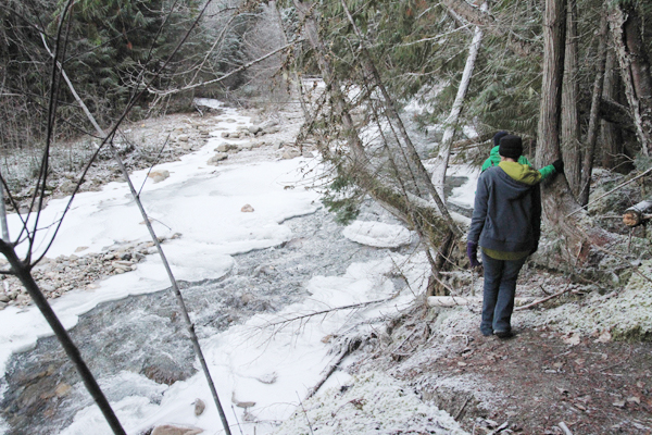
- Viewpoints: Views of creek, large cedar trees, rock shelves & some mountain views
- Geocache points: Unknown
- Closest bathroom/outhouse: None within 10 km
- Cell service? Not comprehensive, but in spots.
- Gear to bring: Bring 0.5L water/pp and mosquito spray
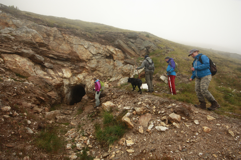
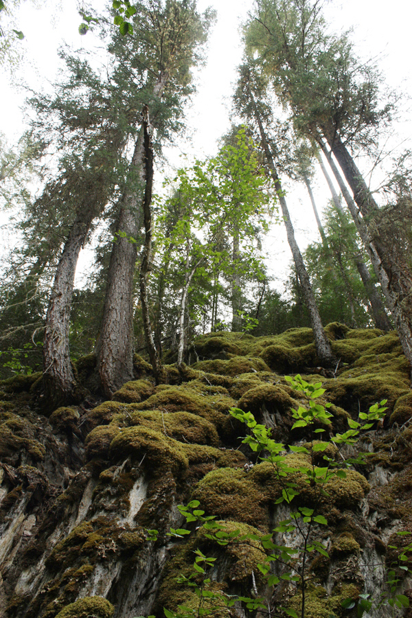
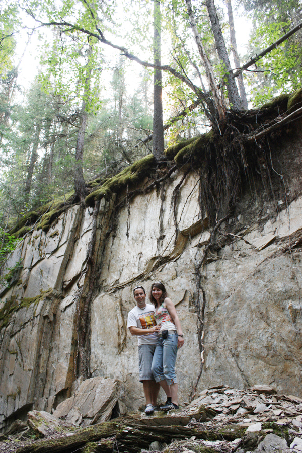
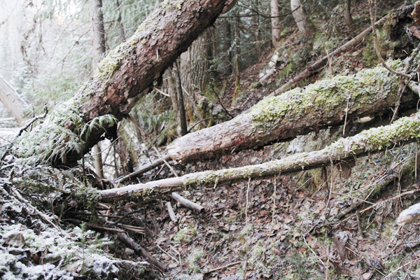
Trail Description: THIS TRAIL IS CLOSED INDEFINITELY. Entering this trail feels like entering a secret garden. The rock shelf on your right shelters the creek bank and trail; it is a shady lush environment. You’ll see trees growing up from the rock ledge, their roots dangling down holding on with hundreds of tiny roots tucked into the rocks. The trail is washed out in places and you have to bushwhack in order to go forward. The trail has a fair bit of deadfall (fallen trees) you must skirt over, under or around. Watch for falling trees. The mosquitoes are bad during the summertime – but nothing a little mosquito spray or net shirt can’t handle. Carrying bear spray is always wise.
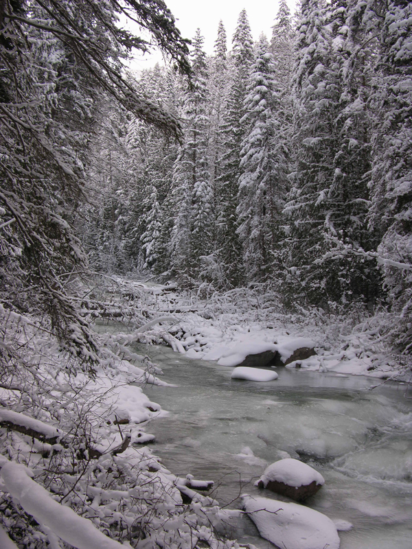
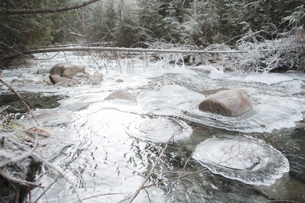
Best Parts: Entering this trail in summer feels like entering a secret garden. In winter, the ice formations in the creek are something to behold.
Worst Parts: The trail is washed out in places and you have to bushwhack in order to go forward. The trail has a fair bit of deadfall (fallen trees) you must skirt over, under or around. Watch for falling trees. The mosquitoes are bad during the summertime – but nothing a little mosquito spray or net shirt can’t handle!
GPS Zone
Trailhead coordinates:
52.787574°, -119.161085° (Insert into a GPS or Google Maps search bar.)
GPS Tracks (Right click, Save link as)
Download Trail GPX file
How to access/where to park: From the Visitor Centre, head east on 5th Ave. After crossing the train tracks, take a right on Main St./Whiskey Fill. Drive approx. 4.3km and turn left onto Canoe River FSR. After about 5.2km, you’ll see a pullout at the trailhead with parking instructions. Click here for Google Map Directions