
 Add to favorites
- Difficulty: Easy

- Warnings: NA
- Wheelchair accessible: yes but steep
- High-clearance 4×4 advised to access trailhead? no
- Best seasons: spring, summer, fall
- Distance (return): 0.46 mi / 0.4 km
- Approx. time: 30 mins return
- Elevation gain: 30 m
- Steepest grade: approx. 20%
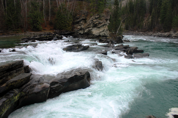
- Viewpoints: Fraser river and canyon
- Geocache points: Unknown
- Closest bathroom/outhouse: Outhouse during summer
- Cell service? Not comprehensive, but in spots.
- Gear to bring: No potable water on site
Trail Description
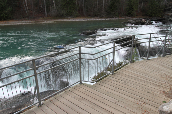
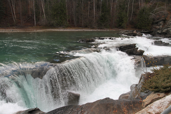
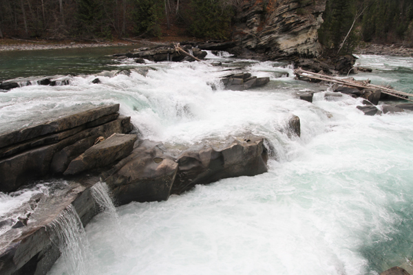
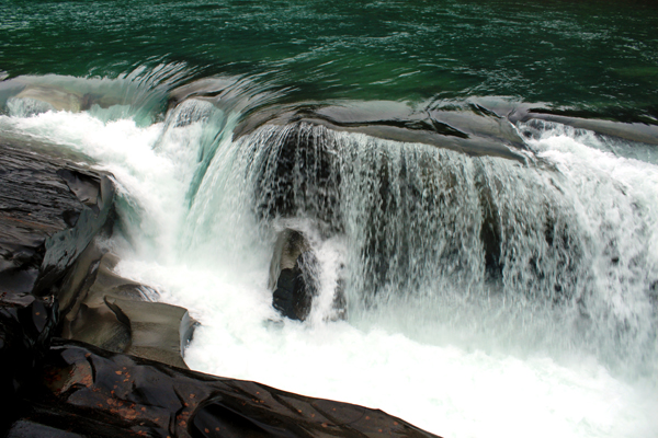
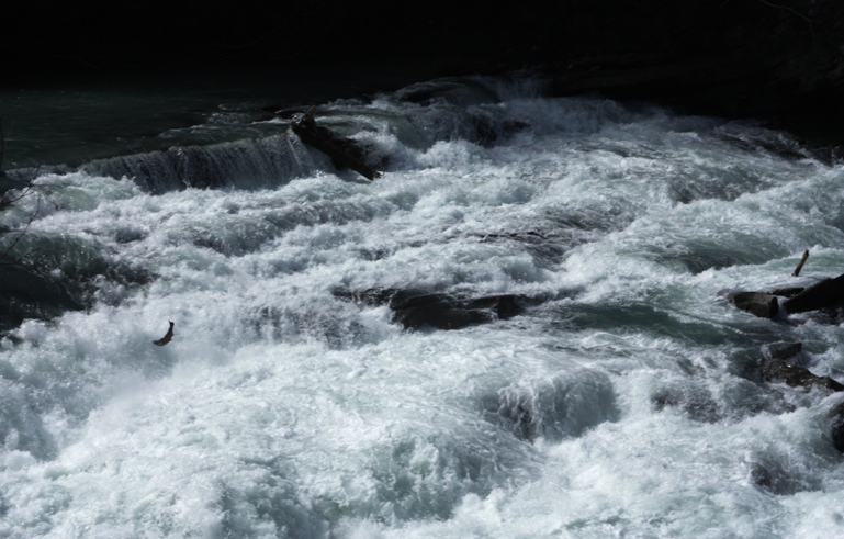
This is a wonderful short hike to Rearguard Falls which is the uppermost part of the salmon run along the Fraser River. Stand on the boardwalk right above the falls and watch salmon leap into the churning water as they struggle to reach their spawning territory in late August. See a video here.
Best Parts: You get a very close vantage right above the left side of the falls.
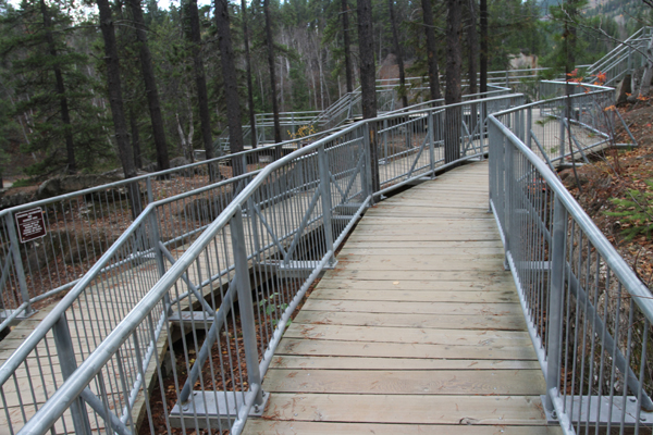
Worst Parts: The slope down from the parking lot is quite steep at first.
GPS Zone
Trailhead coordinates:
52.975191°, -119.363978°
(insert into Google Maps search bar or GPS device)
GPS Tracks(Right click, Save link as)
Download Trail GPX file
How to access/where to park: Head north from Valemount on Hwy 5 for about 19km (follow signs for Jasper). Merge onto Hwy 16E at the Tete Jaune Junction (towards Jasper). After 4.5km, watch for the parking lot on your right. Click here for Google Map Directions
Elevation change profile (metres and km). Click to expand. 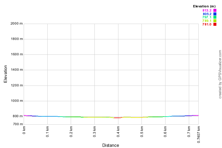


